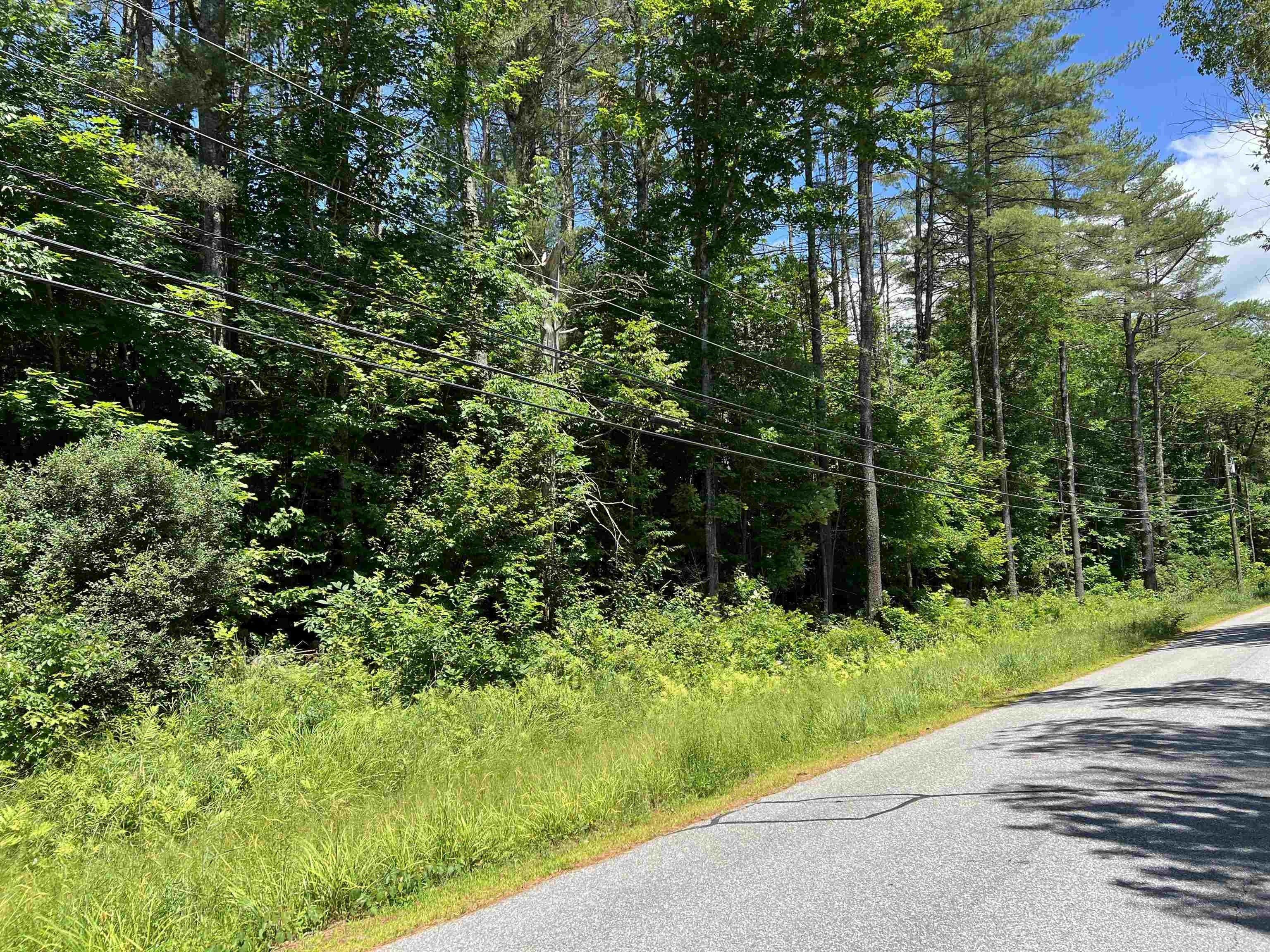
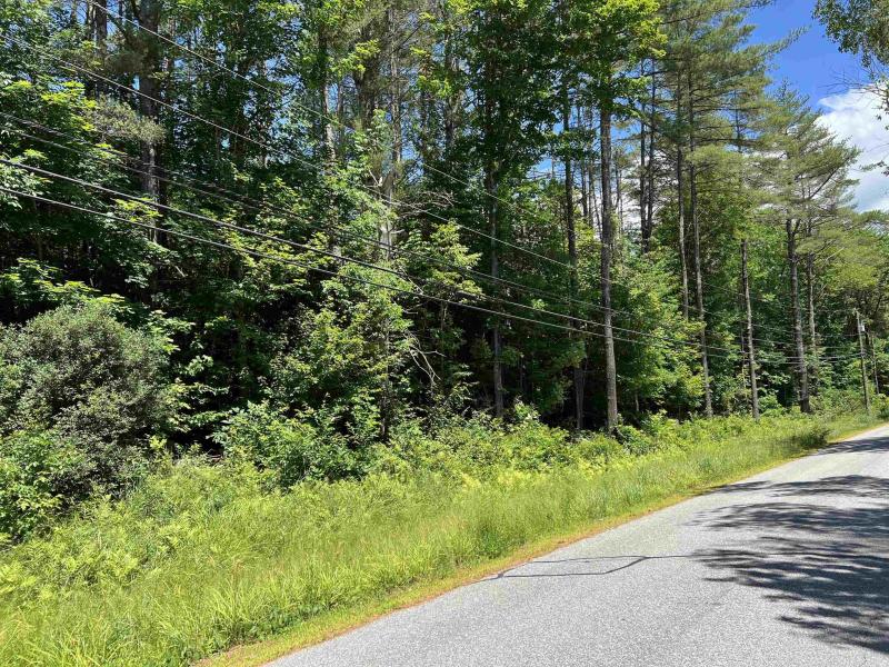
000 Upper Mad River Road, Thornton, NH 03285
-
Other Residential
Property type -
66.8 acres
Lot size
Explore this Property
Courtesy Of Waterville Valley Realty, Inc.
(603) 236-8333
Property Features
-
Architecture StyleOther
-
Lot Size66.8 Acres
Home seller CENTURY 21 Mountainside Realty
Get to know the neighborhood. A local affiliated CENTURY 21 office will help you set up tours, give advice, and negotiate with sellers.
CENTURY 21 Mountainside Realty
(603) 745-2121Mortgage Calculator
Monthly Payment Breakdown
-
Principle and Interest
$0
-
Property Taxes
$0
-
Hazard Insurance
$0
-
Private Mortgage Insurance
$0
-
HOA Dues
$0
-
Total Monthly Payment:
$0
Calculators provided for estimating purposes only. Consult with your lender to determine precise payment requirements.
Copyright © 2025 PrimeMLS. All rights reserved. All information provided by the listing agent/broker is deemed reliable but is not guaranteed and should be independently verified. Information being provided is for consumers' personal, non-commercial use and may not be used for any purpose other than to identify prospective properties consumers may be interested in purchasing. Information being provided is for consumers' personal, non-commercial use and may not be used for any purpose other than to identify prospective properties consumers may be interested in purchasing.
Data powered by Attom Data Solutions. Copyright© 2025. Information deemed reliable but not guaranteed.
This information is provided for general informational purposes only and should not be relied on in making any home-buying decisions. School information does not guarantee enrollment. Contact a local real estate professional or the school district(s) for current information on schools. This information is not intended for use in determining a person's eligibility to attend a school or to use or benefit from other city, town or local services.
† Based on a 30-year fixed rate of 3.38% with 20% down. The estimated payment is offered for convenience and is not an offer of credit. Due to market fluctuations, interest rates are subject to change at any time and without notice. Interest rates are also subject to credit and property approval based on secondary market guidelines. The rates shown are based on average rates for our best qualified customers. Your individual rate may vary. Rates may differ for FHA, VA or jumbo loans.
000 Upper Mad River Road
Thornton, NH 03285
000 Upper Mad River Road
Thornton
, NH 03285

Thornton, NH 03285
Courtesy Of Waterville Valley Realty, Inc.
Request Information
Thornton, NH 03285
Courtesy Of Waterville Valley Realty, Inc.
Request a tour of this property
Thornton, NH 03285
Courtesy Of Waterville Valley Realty, Inc.